Patuxent River, MD
Patuxent River, MD

Judging by cruising standards, the Patuxent River (110 miles long) is one of the Bay’s most outstanding rivers with a freshwater trout stream in its upper reaches. The Patuxent is not only loaded with scenic and historic interest but is home to one of the Bay’s most popular ports of call (Solomons Island), which is convenient to its broad entrance. The mouth of the Patuxent has been an easy harbor of refuge since John Smith mapped it in 1607.
Marinas, Dockage, Service & Navigation
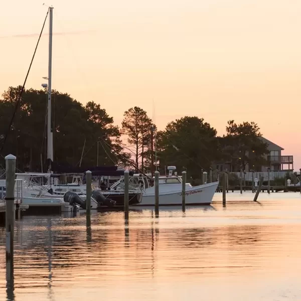
Plan your boating trip on the Patuxent River, MD. Browse marinas, dockage, service yards, and navigation alerts.
View More Information to Plan Your Boating Trip In The Explorer.


Boating Destinations near the Patuxent River, MD
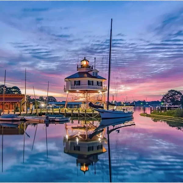


Where the Patuxent River kisses the Chesapeake Bay, lies the quaint village of Solomons, Maryland. A jewel of Calvert County, Solomons is a compact haven less than a mile long, rich in maritime history and brimming with activities. Known for its legacy in oystering and shipbuilding, Solomons and the surrounding county offer an array of experiences that anchor its heritage to a vibrant present-day.
 Purchase a Guide
The Waterway Guide Team has gained extensive boating knowledge over the years, and now we are sharing all of the tips, skills and tools we’ve picked up along the way!

The Waterway Guide App makes it easy to leave reviews, use our Explorer, and view Waterway Guide materials, all on the go!


*In-App Purchases Available


