Cape Cod Bay, MA
Cape Cod Bay, MA

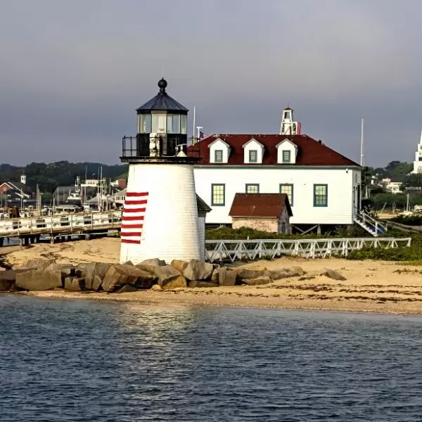
Cape Cod is shaped like a great sandy arm–the upper arm extending easterly 31 miles from the mainland, the forearm heading 25 miles northward and then the fist angling 7 miles back west. Most boats make the leisurely cruise up the coast to explore the historical ports from Plymouth to Boston, Marblehead, Salem and Gloucester and then on to Portsmouth, Kittery and the beginning of the Down East coast.
Marinas, Dockage, Service & Navigation
Plan your boating trip on the Cape Cod Bay, MA. Browse marinas, dockage, service yards, and navigation alerts.
View More Information to Plan Your Boating Trip In The Explorer.


Boating Destinations near the Cape Cod Bay, MA


 Purchase a Guide
The Waterway Guide Team has gained extensive boating knowledge over the years, and now we are sharing all of the tips, skills and tools we’ve picked up along the way!

The Waterway Guide App makes it easy to leave reviews, use our Explorer, and view Waterway Guide materials, all on the go!


*In-App Purchases Available


