Cuttyhunk Island, MA

Cuttyhunk Island is 2 miles long and less than 0.5 mile wide. There are about 50 official residents but most of them aren’t year-round. Summer visitors are served by a population swollen to maybe 400. There are a few trucks for hauling but most people walk or ride golf carts.
Walking along the paved road west leads to a dead end at the island’s highest point with spectacular views of this eastward-running archipelago, its surrounding waters and the distinctive cliffs of Martha’s Vineyard to the southeast.
Marinas, Dockage, Service & Navigation
Plan your boating trip around Cuttyhunk Island, MA. Browse marinas, dockage, service yards, and navigation alerts.
View More Information to Plan Your Boating Trip In The Explorer.

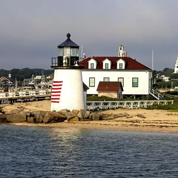
Nantucket lies just 26 miles south of Cape Cod. Once known mainly for its whaling port, Nantucket is now a popular destination amongst travelers longing for something more out of a vacation. Its beautiful landscape features magnificent beaches, windswept moors, salt marshes, and coastal dunes. Set against all this beauty is Nantucket Boat Basin, a full-service marina that offers seafarers a unique glimpse of the island.
 Purchase a Guide
The Waterway Guide Team has gained extensive boating knowledge over the years, and now we are sharing all of the tips, skills and tools we’ve picked up along the way!


