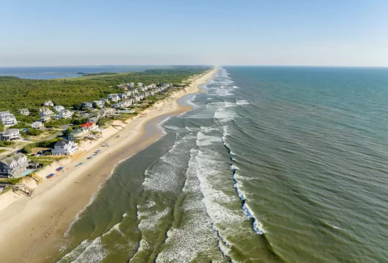
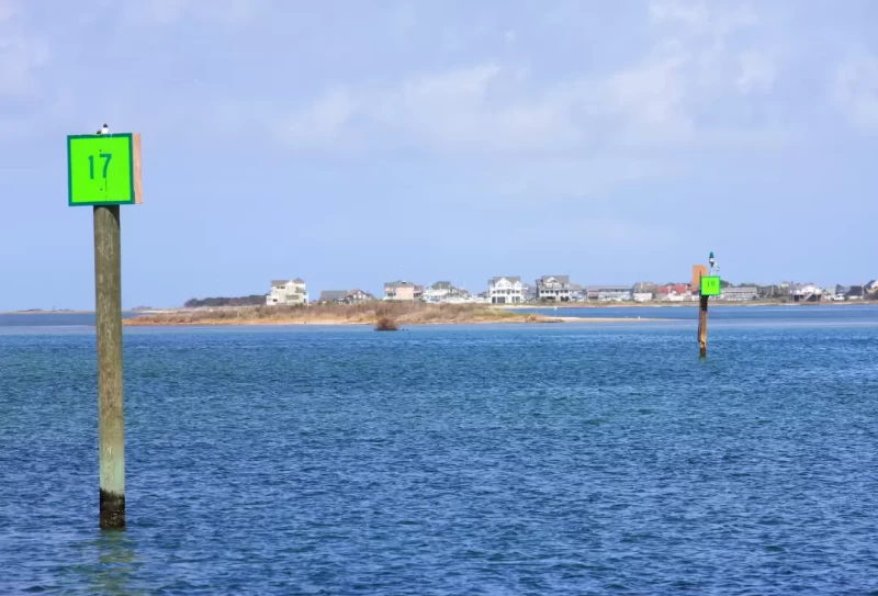
North Carolina's Outer Banks, a long strip of barrier islands, are unlike any other islands along the Mid-Atlantic coast. Vulnerable to wind and wave, they extend in a crescent from the Virginia state line bending farther and farther out to sea until Cape Hatteras and then abruptly sweep back west, leaving an exposed and dangerous cape. They finally meet with the mainland at Cape Lookout near Morehead City and Beaufort.

The Outer Banks enclose Currituck, Albemarle, Roanoke, Croatan, Pamlico and Core Sounds (in that order). As an alternative to the better-protected ICW route that cuts across Albemarle and Pamlico Sounds, this route offers higher speeds, more opportunity to sail and some of the most pristine and wild scenery on the East Coast should you choose to go ashore.
Currituck and Core Sounds, at the two extremes, are narrow, shoal and suitable only for small or shoal-draft craft with local knowledge.
The northern end of the Outer Banks has been a popular summer resort for generations with many cottages, condominiums and commercial services. Below Nags Head the Cape Hatteras National Seashore stretches the length of the barrier islands to meet Cape Lookout National Seashore at Core Sound beyond Ocracoke. The wild beaches, dunes, marshes and woodlands are preserved as National Seashores and are interrupted in only a few places by villages and private property holdings.
The Outer Banks are truly one of our nation's natural treasures and well worth your time to explore and enjoy.
Hatteras Island is the longest of the barrier islands, stretching from Oregon Inlet south and around the elbow of Cape Hatteras to Hatteras Inlet. Occupied since the 1700s by European settlers, the community has always lived off the sea.
In 1846 a hurricane opened Hatteras Inlet to the ocean and the community began to thrive. Damage from various storms has at times separated Hatteras Village from the remainder of Hatteras Island.
While there is still a commercial fishing industry here, charter sport fishing is the lifeblood of the community. It is a short run from the island out to the deep waters of the Gulf Stream where the marlin, swordfish and sailfish wait to be caught.
Start your visit at the north end of town in the old Weather Station, which has been restored and now serves as the Hatteras Visitor Center. This was an active weather station from 1901 until 1946 and issued the first hurricane warnings ever in the U.S. Its radio operator happened to pick up the SOS from the Titanic the night she sank. A guided tour of Hatteras Village includes 20 historic sites and markers.
Since the 1500s more than 600 ships have wrecked along the treacherous coastline surrounding Cape Hatteras. The Graveyard of the Atlantic Museum at Hatteras Village features displays on shipwrecks and North Carolina's maritime history.
Do not fail to visit the circa 1870 Cape Hatteras Lighthouse (10 miles from Hatteras Village). To protect it from beach erosion, it was moved 2,900 feet inland in 1999. (It is the largest structure of its kind ever moved.) The view from its top toward famous Diamond Shoals is an unforgettable sight. It is 268 steps to the top but definitely worth the effort. Climbing hours are 9:00 a.m. to 4:30 p.m. daily. Tickets (available on site for a fee) are required.

Nearby Dockage:
- Hatteras Boatyard: Offers slips and professional services with a focus on DIY boat owners. Leave a Review.
- Oden's Dock: Full-service with access to local amenities. Leave a Review.
- Village Marina Hatteras: Features slips up to 70 feet and on-site dining. Leave a Review.
- Hatteras Harbor Marina: Provides deep-water slips and a charter fleet. Leave a Review.
- Teach's Lair Marina: Known for ample transient space and fishing charters. Leave a Review.
Further along the Outer Banks, Ocracoke Island offers an out-island cruising experience, with its well-protected anchorage and a small town that fiercely preserves its quaint, local atmosphere. Accessible only by boat or aircraft, Ocracoke boasts beautiful beaches and the historic Ocracoke Lighthouse. Its harbor, Silver Lake, provides a secure anchoring spot and several marinas catering to visiting boaters.

Nearby Anchorage:
- Silver Lake: Perfectly protected harbor with anchoring depths of 7 to 13 feet MLW, except in the shallow cove to the southwest. Holding is good but watch for a weedy bottom, which can give a false sense of security. There are also reports of debris on the bottom. Make certain you set your anchor well. There is ample room for those who want to drop a hook, even on summer weekends. Be sure to anchor away from the ferry channel and dock. Leave a Review.
Nearby Dockage:
- Silver Lake Marina: Located near Park Service offices, offers reasonable rates with amenities. Leave a Review.
- Anchorage Inn & Marina: Features a swimming pool and bike rentals, ideal for in-season visits. Leave a Review.
Exploring North Carolina's Outer Banks offers an unforgettable boating experience, combining natural beauty with rich history and excellent amenities. Whether you're anchoring in secluded spots like Silver Lake or docking at full-service marinas like Oden's Dock, the Outer Banks cater to every boater's needs. For detailed navigation instructions, anchorage points, and exclusive local insights, consider purchasing the Waterway Guide's Mid-Atlantic Edition.


