Navigating the New Jersey ICW and Beyond
Date Posted: June 5, 2024
Source: Waterway Guide Northern Edition
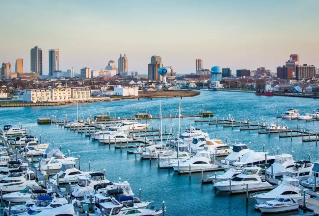
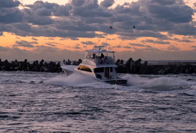
Experience the diversity of the New Jersey Intracoastal Waterway, from the birdwatcher's paradise in Cape May to the vibrant shore towns offering fresh seafood, beautiful sunrises, and sunsets.

Key Destinations
- Cape May to Sandy Hook: Journey through well-known spots like Atlantic City and lesser-known destinations such as Toms River and Point Pleasant/Brielle. On the ocean route from Manasquan Inlet, it is just 24 nm to Sandy Hook, which opens up to an enclosed, single body of water that comprises three separately charted bays: Sandy Hook Bay to the southeast, Raritan Bay to the west and Lower Bay to the north.
- Popular Stops:
- Atlantic City and Atlantic Highlands are renowned for their deep water inlets and extensive marina facilities.
- Ocean City, Toms River, and Manasquan offer unique local flavors and are perfect for shorter stops.

Cruising Conditions and Navigation Tips
- Markers and Navigation: Follow the Atlantic Intracoastal Waterway (ICW) marking system with red markers to the inland and green markers seaward. In areas where inlet channels cross the NJIWW, marker colors will reverse sides.
- Shoaling Alert: Especially between Cape May and Atlantic City, shoaling can significantly impact navigation. The NJIWW has not been dredged in many years, leading to severe shoaling in some areas.
- Traffic Advice: Avoid weekend travel when the waterway can be congested. The NJIWW is one of the country's busiest, often congested with fishing boats that may block the channel.
Detailed Travel Advice
- Depth and Tides: Pay attention to the state of the tide, especially if your boat draws more than 3 feet.
- Boats drawing 3-3.5 feet: Leave Cape May 2 to 3 hours after low tide for sufficient depth to Atlantic City.
- Boats drawing over 3.5 feet: Consider taking the ocean route to Atlantic City to avoid shallow areas.
- Vertical Clearance: The controlling vertical clearance from Cape May to Atlantic City is 35 feet, which needs to be considered when planning your route.
Navigation Tools and Resources
- Local Knowledge: Always seek local knowledge for the latest channel conditions. Consulting with local marinas can provide critical updates that aren't yet reflected in charts or guides.
- Navigation Alerts: Keep up to date with the latest navigation alerts by visiting our website or subscribing to updates.
- Guide and Subscription:
- Purchase the Northern Edition Guide
- Opt for a Print + Digital Northern Subscription for comprehensive, up-to-date navigational information.
Comment Submitted by Capt Harry - June 5, 2024
Explore More News & Articles In Specific Cruising Areas
Explore More Topics
NAVIGATION
BOATER EDUCATION
NEWS
SAFE BOATING
U.S. COAST GUARD
DESTINATIONS
EVENT
MARINAS
ANCHORING
MAINTENANCE
Recent Videos


