Nautical chart generating service includes major new enhancements
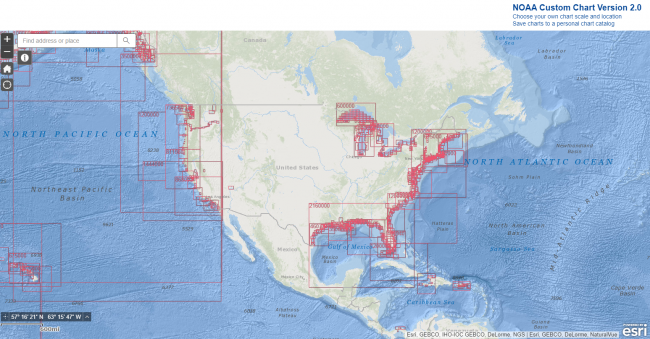
NOAA Custom Chart is a web-based application that can generate a paper nautical chart. The nautical charts generated from this application are created directly from the latest official data available within NOAA's electronic navigational charts (NOAA ENC®). The output of the application is a geospatially referenced portable document format (PDF) file, which is intended to augment navigation using an actual NOAA ENC. They can also be used as a planning tool or to enhance overall situational awareness. Custom Chart PDFs created for letter or legal-size paper can be printed on a home printer. PDFs for large format charts may be sent to one of these companies for plotting or printed through other commercial print shops.
NOAA is actively making improvements to the NOAA Custom Chart application and just released version 2.0. The most notable change is a new feature called a Personal Chart Catalog that enables users to save, share, and reload the parameters of any custom charts that they create. This makes it easy to reload a custom chart back into the application, refresh it with the latest ENC data, and output an updated chart.
Enhancements and bug fixes in this new version include:
- Added Personal Chart Catalog functionality that enables users to:
- Save their own custom chart parameters for later use.
- Share their custom chart parameters with others.
- Reload saved chart parameters to recreate charts with newly updated information.
- New 36 x 48-inch plotter page size.
- Fixed error in creating portrait orientation ANSI C size charts.
- Fixed bug preventing the export of large datasets.
- Fixed bug where the newest data was exported instead of the largest scale data.
NOAA is interested in hearing about users' experiences and getting suggestions for additional enhancements. You can provide your input through Coast Survey's online ASSIST customer feedback form.


- 4,000 Marinas
- Thousands of anchorages
- Updated Charts
- Mile-by-Mile Navigation
- Highlighted Alerts & Cautions
- Full-Color Aerial Photographs

The Waterway Guide App Makes it easy to leave reviews, use our explorer, and view waterway guide materials all on the go!