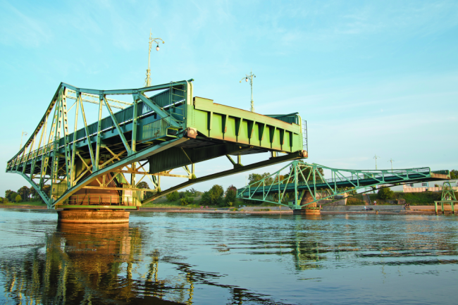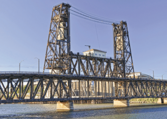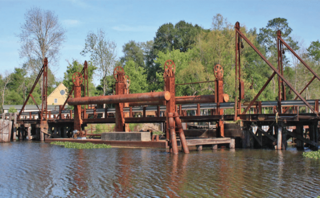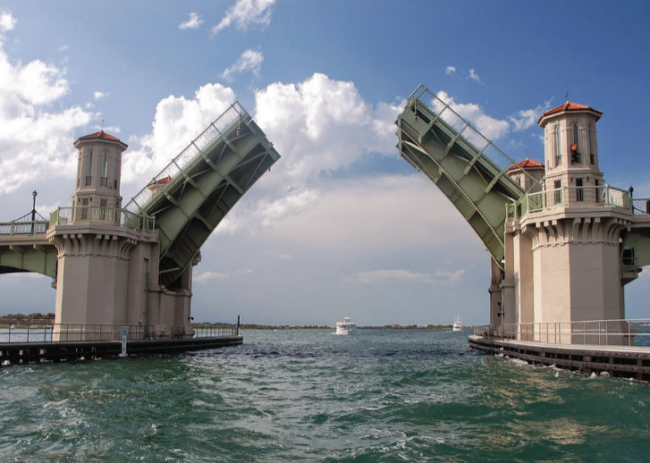
Bridges have to be factored in when planning a trip. Depending on where you cruise, you may be dependent on bridge openings; a particular bridge's schedule can often decide where you tie up for the evening or when you wake up and get underway the next day. While many are high (over 65 feet) and some usually remain open (such as railroad bridges), others are restricted for different hours in specific months, closed during rush hours and/or open on the quarter-hour, half-hour or even at 20 minutes and 40 minutes past the hour.
To add to the confusion, the restrictions are constantly changing. Just because a bridge opened on a certain schedule last season does not mean it is still on that same schedule. Changes are posted in the U.S. Coast Guard's Local Notice to Mariners. It is also a good idea to check locally to verify bridge schedules before your transit.
Measuring Vertical Clearance
Most bridges carry a tide board to register vertical clearance at "low steel" or the lowest point on the bridge. (Note that in the State of Florida waters the tide board figure–and the one noted on the chart–is generally for a point that is 5 feet toward the channel from the bridge fender.) In the case of arched bridges, center channel clearance is frequently higher than the tide gauge registers. So check your chart and the tide boards and, unless it specifically notes that vertical clearance is given "at center," you may be able to count on a little extra height at mid-channel, under the arch of the bridge. Some bridges may bear signs noting extra height at center in feet.
Calling a Bridge
Most bridges monitor VHF Channel 13, designated by the Federal Communications Commission as the "bridgetender channel" until you get to South Carolina (southbound), where it changes to VHF Channel 09. (The exception is the locks on the Okeechobee Waterway, which respond to VHF Channel 13).
In any waters, it is a good idea to monitor both the bridge channel and VHF Channel 16–one on your ship's radio and one on a handheld radio, if your main set doesn't have a dual-watch capability–to monitor oncoming commercial traffic and communications with the bridgetender.
When using VHF, always call bridges by name and identify your vessel by name and type (such as sailing vessel or trawler) and whether you are traveling north or south. If you are unable to raise the bridge using VHF radio, use a horn signal.
Note that some bridges are not required to open in high winds. If you encounter a bridge that won't open (for whatever reason), it is prudent to drop the hook in a safe spot until the situation is resolved.


First, decide if it is necessary to have the drawbridge opened. You will need to know your boat's clearance height above the waterline before you start. Drawbridges have "clearance gauges" that show the closed vertical clearance with changing water levels, but a bascule bridge typically has 3 to 5 feet more clearance than what is indicated on the gauge at the center of its arch at mean low tide. Bridge clearances are also shown on NOAA charts.
-
Contact the bridgetender well in advance (even if you can't see the bridge around the bend) by VHF radio or phone. Alternatively, the proper horn signal for a bridge opening is one prolonged blast (four to six seconds) and one short blast (approximately one second). Bridge operators sound this signal when ready to open the bridge, and then usually the danger signal–five short blasts–when they are closing the bridge.
-
The operator of each vessel is required by law to signal the bridgetender for an opening, even if another vessel has already signaled. Tugs with tows and U.S. government vessels may go through bridges at any time, usually signaling with five short blasts. A restricted bridge may open in an emergency with the same signal. Keep in mind bridgetenders will not know your intentions unless you tell them.
-
If two or more vessels are in sight of one another, the bridgetender may elect to delay opening the bridge until all boats can go through together.
-
Approach at slow speed and be prepared to wait, as the bridge cannot open until the traffic gates are closed. Many ICW bridges, for example, are older and the aged machinery functions slowly.
-
Once the bridge is open, proceed at no-wake speed. Keep a safe distance between you and other craft, as currents and turbulence around bridge supports can be tricky.
-
There is technically no legal right-of-way (except on the Mississippi and some other inland rivers), but boats running with the current should always be given the right-of-way out of courtesy. As always, if you are not sure, let the other boat go first.
-
When making the same opening as a commercial craft, it is a good idea to contact the vessel's captain (usually on VHF Channel 13), ascertain his intentions and state yours to avoid any misunderstanding in tight quarters.
-
After passing through the bridge, maintain a no-wake speed until you are well clear and then resume normal speed.


